Directions to Camp Raymond Boy Scout Camp and WSC Sporting Clays
7709 Boy Scout Camp Road; Parks, Arizona, 86018
GPS Coordinates: 35.136531, -111.970000
Camp Raymond is located approximately 8 miles south of I-40 in Garland Prairie, midway between Williams and Parks Arizona. There are two access points off of I-40: exit 167 1 mile east of Williams and exit 178, at Parks. Both access points will connect you with Garland Prairie Road which is a loop road through Garland Prairie that connects to Boy Scout Camp Rd. The directions that follow will take you to a common point—intersection of Garland Prairie Rd and Boy Scout Camp Rd which is 1.6 miles north of Camp Raymond.
From Williams, Az.
Take exit 167 off I-40 which is approximately 1 mile east of Williams. Take Garland Prairie Rd south. Note: If using a mapping program there is a good possibility that it will show FR road numbers other than Garland Prairie—so it is important to follow these directions.
At 1.2 miles you will cross a double set of railroad tracks. Veer left onto Garland Prairie Rd. There is sign there and it will be the last time you see a “Garland Prairie” sign. Don’t be tempted by veering off right while enroute—stay on the main road. At 10.9 miles you will make a 90 degree right hand turn—at 11.9 miles you will make a 90 degree left turn onto a paved road. At 12.9 miles you will be at the intersection of Garland Prairie Rd and Boy Scout Camp Rd. Turn right onto Boy Scout Camp Rd.
From Parks, Az.
Take exit 178 and turn south on Garland Prairie Rd. At 8.2 miles you will be at the intersection of Garland Prairie Rd and Boy Scout Camp Rd. Turn left.
From the intersection of Garland Prairie Rd and Boy Scout Camp Rd.
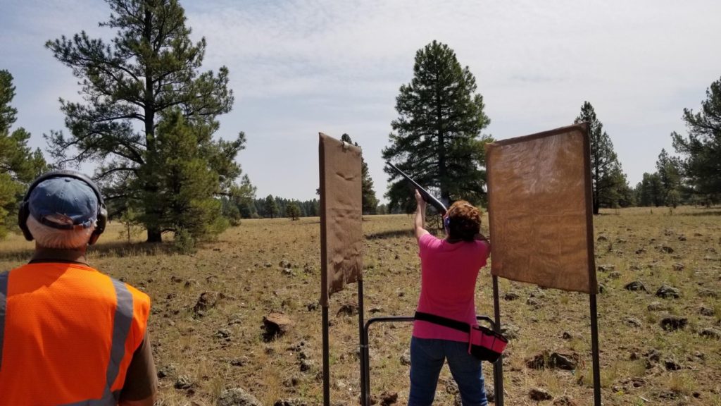
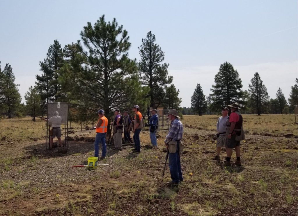
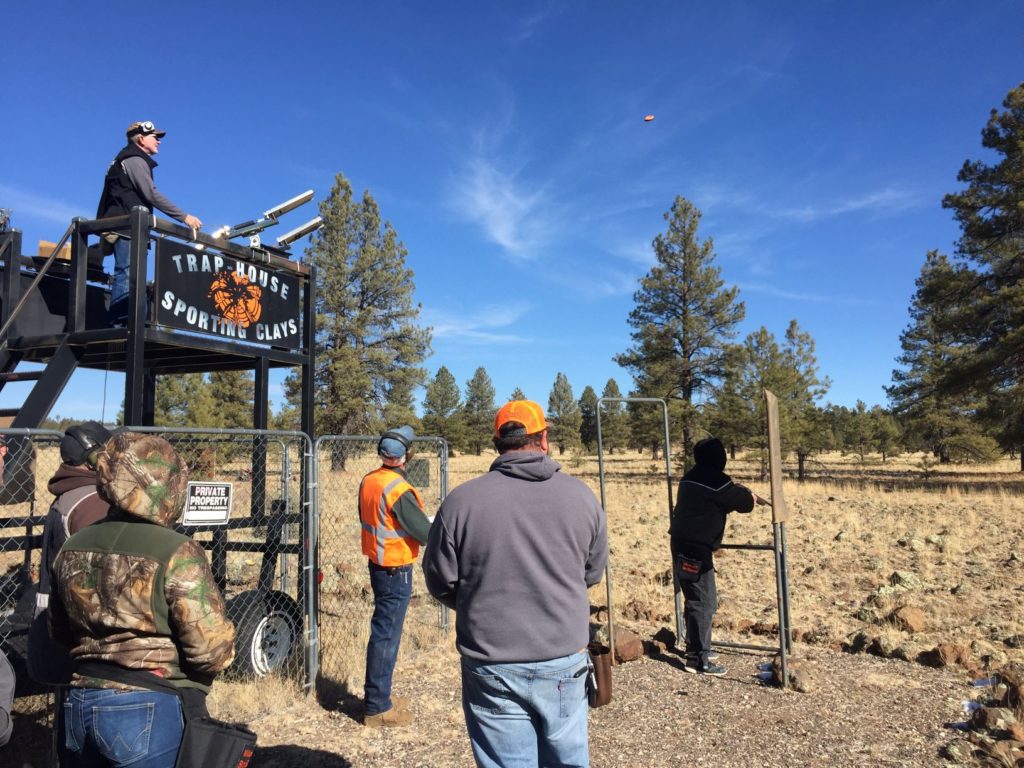
Travel south 1.6 miles to the main entrance to the Boy Scout Camp. Continue straight ahead .4 mile and veer left. In .1 of a mile, turn left and proceed straight ahead for .2 mile. You will see the archery range, 22 rifle range and trap range on your left. The last range is the sporting clays range.
Approximate travel time from the Williams exit is 25 minutes, from the Parks exit is 15 minutes.